-
Business
-

Policy & Business
-
-
Federal IT
-

Information Technology
-
-
State & Local
-

State & Local Government
-
-
Defense
-

Defense & Intelligence
-
-
Healthcare
-

Healthcare Policy & IT
-
-
Energy
-

Energy Policy & Technology
-
-
Education
-

Education Policy & Technology
-
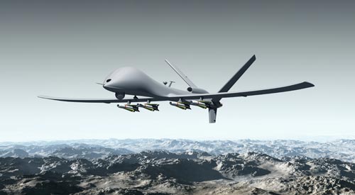
F.A.A.’s Concerns Hold Up Use of Wildfire Drones
The New York Times: SAN FRANCISCO — As wildfire season begins in Western landscapes that were covered in smoky haze for weeks at a time last summer, the federal government’s firefighters are exploring the use of small remote-controlled drones with infrared cameras that could map a fire’s size and speed, and identify hot spots, a particular danger.
Tags
Top Stories
- Closing the Digital Divide in Government: 5 Strategies for Digital Transformation
- IT leaders take note: The future is what you create
- 2023: The Year of Modern Government
- 5 Things Holding Innovation Back at the IRS
- That Time the Federal Government Was Ruled By Czars
- Inflation Costs Present Both Barrier, Opportunity For Contractors In 2023
- Top 9 challenges IT leaders will face in 2023
- NASA overspent $15 million on unused Oracle licenses as it failed to track usage
- Women Bring Skills – and Face Different Challenges – in Government
- Library of Congress Looks to Spend up to $450M on IT and Software Contract Work
- GAO: Agencies Need to Conduct Cyber Risk Assessments of IoT, OT Devices in Critical Infrastructure Sectors
- The White House Charts a Course for Open Government
- Here Are the Major Takeaways From the $1.7 Trillion Omnibus Spending Bill
- Recent Hiring Reforms Are Already Working, Federal HR Leaders Say
- Ukraine Tech Chief: Cloud Migration ‘Saved Ukrainian Government and Economy’
- State Department unveils $10B enterprise IT services solicitation
i360Gov Newsletters
The most significant government policy, business, and technology news and analysis delivered to your inbox.
Subscribe NowTrending
- FINRA CIO Steve Randich pushes the public cloud forward
- The Challenge of Modernizing the Civil Service
- FITARA scorecard sees 7 agencies increase their marks amid cyber methodology changes
- New report warns of growing 'data divide'
- Tech Wanted: Government Calls on Industry to Help with Net-Zero Carbon Buildings
- IT leaders uplift women to fill tech talent gaps
- The present and future of FedRAMP
- CISA director looking for 'unlikely' partnerships in cyber fight
Also in Policy & Business
About
i360Gov is an intelligent network of websites and e-newsletters that provides government business, policy and technology leaders with a single destination for the most important news and analysis regarding their agency strategies and initiatives.
Contact Us
Telephone: 202.760.2280
Toll Free: 855.i360.Gov
Fax: 202.697.5045


